The wind is pushing at our backs, while sunshine ladles itself liberally onto skin, trees, and the cornfields below. The three of us sit on top of a mountain ridge, resting on a bench. We’re looking for birds. It’s quiet, and we gaze north. A large vista stretches out below us, with semis looking like tiny dots. The view is broad and lofty, almost spiritual.
We’re on top of Stone Mountain, a site familiar to many local birders. The bench that we sit on was built by folks from the State College Bird Club and Juniata Valley Audobon Society. Starting in 1991, birders began coming here to count raptors migrating north and south. Since then, volunteers have kept a tally every year at the Stone Mountain Hawk Watch.
On Fridays, we send a delegate up to Stone Mountain to track the daily tally. Jerod Skebo and Joshua Potter are here today, gazing north for the silhouette of a raptor. After a while, they spot one bird heckling the other: a Cooper’s Hawk, pestering a much larger raven. The hawk swoops in from different angles, jabbing at the raven’s wings, trying to push it out of the area. We gasp as the small bird cyclones around, twisting its body upside down and going belly-up in its attempts. “That bird was upside-down for a full three seconds!” Jerod gapes.
Many different species move through the skies here, pushing south along the Eastern Flyway. Their route is hemmed in by the Appalachian Mountains, forming a sort of expressway in the air. Most birds avoid flight over mountains, so they move along the valleys. Their routes join together in some cases, like an entrance ramp joining a highway. Stone Mountain is right in the middle of that avian highway, earning it a place on the listing of “Important Bird Areas” by the Pennsylvania Biological Survey.
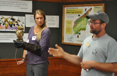
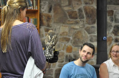
To celebrate the treasure of such a place, we held a workshop last week at Shaver’s Creek about Stone Mountain and migrating birds. A crew of beginning birders came to learn how to identify different species based on the shape of the wings, the size of the head.
As a beginning birder, I wasn’t sure what I would find out on a mountain. (Vague bird shapes? Distant specks?) But the view alone was enough to make my heart soar. Whether you love birds or beautiful places, I’d recommend making the drive to Stone Mountain. It’s a 40-minute drive from State College, but it’s worthwhile, especially on a clear day. Fridays, Shaver’s Creek staff are out on the platform. They may be able to point out a few birds and lend you a spotting scope. Come by and visit!
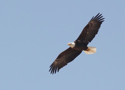
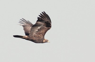
All photos of raptors in flight by Alex Lamoreaux
When to go:
Sunny days, and days with a wind coming from the northwest, are the best conditions for flight. (Sun warms the ground, making thermals for the birds to ride. Wind from the northwest carries the birds in the right direction.)
What to bring:
Sunscreen, water, binoculars, and a field guide if you have it. The platform is very exposed, so dress well for the weather. Bring good walking shoes, as well. It is a ten-minute walk from the parking lot to the observation platform, along rocky terrain.
How to get there:
From State College, take PA Route 26 south from State College to Pine Grove Mills. In Pine Grove Mills, at the flashing yellow light, turn left to go uphill. Continue south on PA Route 26 several miles to the town of McAlevy’s Fort. As you enter McAlevy’s Fort, the speed limit goes down to 35 mph and you will come to a stop sign.
At the stop sign, turn left onto Route 305/Greenwood Road. Proceed 0.7 miles, passing a large brick church on the left, and then immediately turn right (leaving Route 305) onto paved Barr Road. Continue on this winding road for 0.6 miles, then turn left onto Davis Road, which is paved. Follow Davis Road about 1.2 miles down to East Branch Road. (There are no possible prior turns off Davis Road.)
Turn right onto East Branch Road. (This road has no street sign.) Follow it for 1.6 miles to a left turn onto Allensville Road (a steep dirt road). Follow Allensville Road three miles to the very top of Stone Mountain, and park at the end. Walk along the trail, marked with orange blazes, to get to the platform.


