
For her capstone project, graduating environmental resource management student Bryn Wambaugh investigated the work being done in the Shaver’s Creek watershed by the Shale Hills Critical Zone Observatory. We are sharing a series of Bryn’s articles, written with the public in mind, to educate readers while illustrating the great research done at the Shale Hills CZO and supported by Shaver’s Creek.
Read the previous entries in Bryn’s series:
What Is Nutrient Pollution and What Are Its Impacts?
Riparian Buffers and Denitrification
What Is a Critical Zone and What Is the Susquehanna Shale Hills Critical Zone Observatory
Shale Hills and Garner Run
Cole Farm is a small (0.65km2) farm that was established in 1814. Around 1938–40, when the federal government bought up land in Stone Valley in hopes to return cropland to forest, Cole Farm was one of the few farms that remained (Osenbach, 2019). Cole Farm is a site that Susquehanna Shale Hills Critical Zone Observatory (SSHCZO) uses to extrapolate data to better understand the whole watershed. There is also interdisciplinary work being done at Cole Farm that is valuable to our understanding of the critical zone.
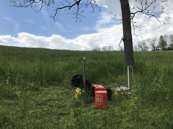
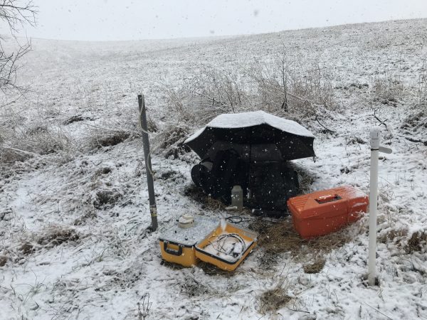
SSHCZO has been monitoring Cole Farm since August 2016. The surface water at Cole Farm is monitored using four sites: Shaver’s Creek at Cole Farm (SCCF), Cole Spring (CSp), Cole Farm Pond (CFPond), and Cole Farm Runoff (CFRO). SCCF is the point where Shaver’s Creek runs in front of Cole Farm, CSp is a small spring in the center of the property that flows into a pond, and CFRO is a small runoff source on the eastern side of the catchment (Wayman 2018). There are also four wells drilled at Cole Farm. Three of those four wells are sampled for the same analytes, cations, dissolved organic carbon, and nitrogen species samples (ammonium, nitrite, and nitrate) as the four surface water sites. All of these wells are monitored for groundwater level (Wayman, 2018). There is also a flux tower at Cole Farm that has measured latent energy* and evapotranspiration since May 2016.
Although most of Shaver’s Creek Watershed is forested, at Cole Farm and downstream, agricultural land increases and approaches 20% of land in the watershed. Cole Farm is underlain by calcareous shale, and since most of the agricultural land in the watershed is underlain by either calcareous shale or limestone, Cole Farm is a perfect representative site (Wayman 2018).
As well as research about nutrient pollution, there are many other research projects taking place in SSHCZO to better understand the critical zone. By typing “Shale Hills Critical Zone Observatory” into Google Scholar, you can see the many studies that have been published from the SSHCZO. These examine soil chemistry, weathering, how environmental factors impact the critical zone, and many different spatiotemporal patterns, to name a few. Much of this research is conducted at Cole Farm or has data from Cole Farm because it is such a representative site.
Cole Farm is a valuable catchment within SSHCZO because it is representative of the agricultural land in the watershed, and because of this it provides interesting data to extrapolate to the watershed for interdisciplinary research. In the next article, we will look at specific findings from the SSHCZO and what they mean for the Shaver’s Creek watershed.
*Latent energy or latent heat is the heat created by water evaporating and condensing higher up in the atmosphere. Heat is moving up into the atmosphere during this process (Sensible heat, latent heat and radiation, 2010).
References
- Osenbach, E. (2020). Sources of nitrates in the Shaver’s Creek Watershed in the Susquehanna River Basin [Unpublished Senior Thesis, The Pennsylvania State University]
- Sensible heat, latent heat and radiation. (2010, October 23). Retrieved May 08, 2021, from https://scienceofdoom.com/2010/04/09/sensible-heat-latent-heat-and-radiation/
- Wayman, C. R., & Brantley, S. L. (2018). Understanding the effects of hydrologic connectivity, land use, and lithology on land use across scales: from a zeroth order catchment to a HUC 10 watershed in the Susquehanna River Basin [Unpublished master’s thesis, The Pennsylvania State University]